Where is it?
Welcome to the first page of contents in which you will create a digital map based on some provinces in your country.
Previous activities: about places
The activities presented below will help you acquire key vocabulary and useful language to perform successfully your first mission within this project. They are your first steps towards the final challenge of this project: the planning and organization of an Expo on cities/towns in your region.
- Activity 1: A worldwide view - Geography Quiz
-
Start this section by watching a video on Geography vocabulary. With a partner, comment on the questions below. The words and expressions underlined will lead you to relevant information. If necessary, search for more information on the Internet.
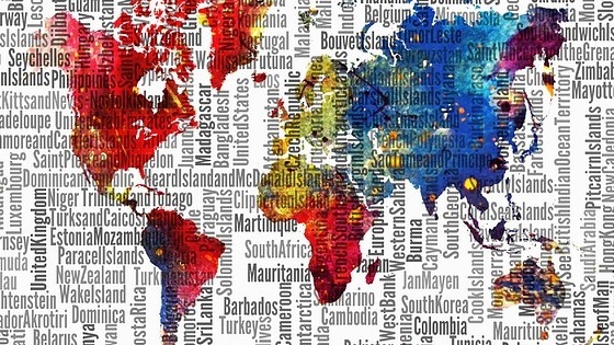
- How many people are there on the Earth?
- How many continents are there?
- In which continents is Spanish spoken?
- Name five countries where people speak English as an official language. Where are these countries?
- What's the population in Spain? Check this information on the worldometres.info site.
- How many inhabitants live in your region? And in your city/town? Enter the tools4noobs.com site and practise large numbers.
- Enter the World Google map and check the location and capital city of India, Brazil, The UK, Uganda and New Zealand. Test a classmate about the capital city of three more countries.
- Activity 2: About cities - Oral interaction
-
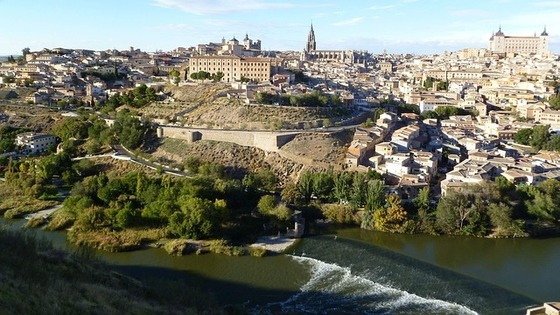
Let us focus on Spain, a great country full of nice cities. Take turns with a classmate to comment on the questions below. Enter the map of Spanish cities and answer the questions that follow.
- Which cities have you visited?
- Where are they located? Check how to locate places on a map on the englishclub.com site.
- Give reasons why you like or don't like each city. Use adjectives from the list on the passporttoenglish.com site to justify your answers.
- What means of transport can you use to move around the city where you live?
- Where you live, what's the weather like in summer? What about in winter time? Have a look at weather expressions on the Woodward English site.
- Activity 3: City factsheet - Poster Creation
-
Sign in at Canva and create a poster on one of your favourite cities. Include a factsheet including its location, land surface, population, weather, public transport and official language. Share your poster with your classmates on Pinterest. Remember to attach a photo of the city when you post it. Publish your poster on a page that you will entitle 'My digital Resources' in your Weebly site.
- Extra resources
Make sure you can refer to key facts about cities and countries because this is going to be essential in the mission you are about to start.
At the end of this section, you will have:
- Learnt about some important features from foreign countries
- Practised geolocation navsat on a map.
- Expressed facts and figures.
- Created and presented four factsheets based on cities.
The number of people or inhabitants in a country or region.